


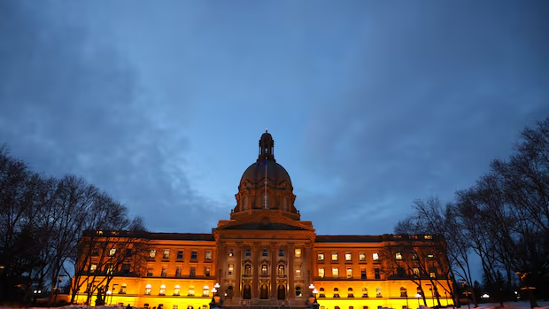
Alberta's newly approved electoral boundary map would shift the Canmore-Banff riding decisively into United Conservative Party territory, strengthen the governing party's position in several Calgary ridings, and reshape Lethbridge's political landscape—according to a WestNet News analysis of voting patterns from the 2023 provincial election applied to the new boundaries.
The UCP-controlled Alberta legislature approved the controversial boundary map Wednesday for next year's provincial election, ending months of debate over how the province's 91 electoral divisions should be drawn.
The Numbers Tell the Story
If Albertans voted tomorrow using the same preferences they showed in 2023, the new map would produce 50 UCP seats and 41 NDP seats, according to the analysis. While this represents a narrower margin than the UCP's actual 49-to-38 victory last time around, experts say the boundaries still favour the governing party.
The most striking shift involves Canmore-Banff. Under the original boundary commission proposal, that riding would have been won by NDP by a 10.5 percentage-point margin. The newly approved map—which adds small communities along the Cowboy Trail—would flip it to UCP under 2023 voting patterns.
In Calgary, the new boundaries merge portions of rural Rocky View County with three west-end city ridings, a move that could help pad UCP margins in those seats.
Lethbridge sees perhaps the most dramatic transformation. The city's two urban ridings have been consolidated into one city-only seat, with the former territory now split across three rural-urban hybrid divisions that stretch across massive portions of southern Alberta.
Is This Gerrymandering?
Premier Danielle Smith's government has repeatedly defended the new map by pointing out that it was not drawn by politicians themselves, but rather by an independent advisory panel composed of a cabinet-appointed former judge, two UCP appointees, and two NDP appointees.
"If his conspiracy theory is that someone gerrymandered the advisory panel's maps to benefit the UCP, then they failed miserably," Smith said during question period Wednesday, responding to NDP Leader Naheed Nenshi's accusations.
However, Feodor Snagovsky, a political scientist at the University of Alberta, argues that gerrymandering doesn't require dramatic reshaping of entire provinces. "All it has to be is putting your thumb on the scale and making it more difficult for the other party to succeed," Snagovsky said.
The Alternative That Wasn't Chosen
The controversy deepens when comparing the approved map to the original boundary commission's proposal from last spring. That earlier version would have produced only a five-seat UCP advantage (47 to 42) on an 89-seat map. MLAs rejected it, instead requesting the advisory panel create a new version that would restore two rural ridings that faced elimination.
The advisory panel delivered. The new 91-riding map restores those rural seats in central and northern Alberta—and, in doing so, produces a stronger electoral advantage for the UCP than the map it replaced.
The NDP have argued the entire process was unprecedented and gave Smith's government an opportunity to cherry-pick the boundary option most favourable to their re-election prospects.
The boundary map takes effect for Alberta's 2027 general election, currently scheduled for spring of that year.
Original reporting by CBC Calgary's Jason Markusoff, Joel Dryden, and Nael Shiab. Read the full CBC analysis.